
Transforming Insight Through Geospatial Intelligence
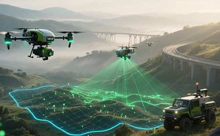
TekOne delivers LiDAR, Remote Sensing, and Geospatial Intelligence solutions that empower decision-makers with accurate, real-time information about the world around them. We use Digital Twin modeling, 3D visualization, and AI driven analysis to create detailed insights for industries spanning telecom, infrastructure, utilities, and defense.
Precision That Drives Progress
Our geospatial solutions cover LiDAR acquisition, orthophotography, terrain modeling, and spatial analytics enabling advanced asset management and environmental monitoring. We create interactive Digital Twins of cities, transport systems, and industrial facilities that enhance planning, predictive maintenance, and emergency response. Through cloud based GIS dashboards and analytics tools, TekOne transforms geospatial data into accessible, operational intelligence.

By blending accuracy, innovation, and scalability, TekOne helps clients visualize progress and manage change effectively. We don't just capture data we interpret environments, turning every map into a strategic asset.